
How Big Is Japan? Geography, Population and Regional Differences
As schools start organizing a Japan program, one of the initial thoughts arises from logistical planning: what is the size of Japan, and how varied are its regions in reality? On paper, Japan may appear small. The disparity between crowded urban areas, countryside communities, and unique regional identities influences all aspects, from logistics to educational results.
Understanding Japan’s geography and its population distribution goes beyond mere background knowledge. It directly affects the design of programs, the locations of substantial learning, and how students perceive their observations in real life. Without this background, learners may perceive Japan as a collection of isolated places rather than a complex, interconnected network.
Here, we analyze Japan's dimensions, demographic trends, and geographical variations, illustrating how these elements create tangible learning opportunities. After reading this article, you will possess a clearer structure for creating programs that enable students to go beyond superficial observations and interact more profoundly with Japan as a vibrant, evolving context.

Connecting real-world environments to academic learning objectives.
Understanding the Size of Japan
Japan may seem small on a world map, but this perception can be deceptive for program planning. The nation extends more than 3,000 kilometers from north to south, equating to the distance of a journey from northern Europe to southern Spain. This directly affects travel duration, climate changes, and the feasible amount that can be included in one itinerary.
For school leaders, the primary factor is not the overall land area but how that area relates to movement and accessibility. High-speed trains like the Shinkansen facilitate efficient intercity travel, yet distances still necessitate meticulous planning. Traveling from Tokyo to Kyoto takes approximately two and a half hours. Traveling to Hiroshima or northern areas such as Hokkaido quickly evolves into a full-day journey when considering transfers and group arrangements.
This is where some programs tend to become overly ambitious. Attempting to cover numerous areas within a restricted time often diminishes the depth of learning. Rather, we typically organize Japan programs around one or two main areas, enabling students to investigate them in context instead of rapidly shifting between unrelated places.
When planning, it helps to think in terms of travel zones rather than the country as a whole. For example:
Tokyo and surrounding Kanto region for urban systems, innovation, and population density
Kyoto and Kansai region for cultural heritage, history, and traditional industries
Rural prefectures for agriculture, sustainability, and demographic challenges such as ageing populations
Each of these zones offers a distinct learning lens. Attempting to combine all of them in a short program can dilute the experience. Focusing on fewer areas allows students to observe patterns, revisit themes, and build a more coherent understanding.
Another practical factor is how geography shapes daily scheduling. Even within a single city like Tokyo, travel between districts can take an hour or more depending on group size and time of day. This affects how many site visits can realistically be planned without creating fatigue or rushing reflection time.
Japan’s Population Distribution
Japan’s population is not evenly spread. In practice, this shapes almost every aspect of how a program feels on the ground, from the pace of daily movement to the types of learning opportunities available. For schools, understanding where people live and why helps turn logistics into learning rather than friction.
Roughly a third of Japan’s population is concentrated in the Greater Tokyo area. Cities such as Osaka and Nagoya form additional urban clusters, while large parts of the country remain sparsely populated. This creates a clear contrast between highly dense metropolitan environments and quieter regional communities.
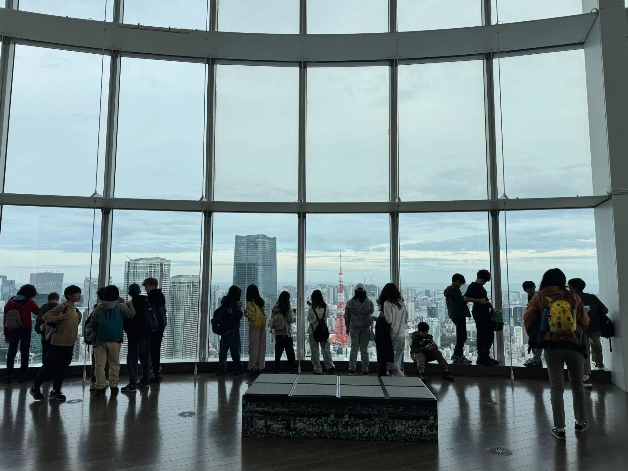
Students are experiencing the scale and pace of urban life in Japan.
From a planning perspective, this contrast presents a choice. Do you want students to experience scale, speed, and complexity in a major city, or do you want them to engage more closely with local communities in less populated areas? In most cases, the strongest programs combine both, but with a clear purpose behind each.
In dense urban settings like Tokyo, students encounter:
Complex transport systems that require coordination and problem solving
High-pressure working environments and visible productivity culture
Infrastructure that supports millions of daily interactions
These environments are ideal for exploring themes such as urban planning, culture, technology integration, and economic concentration. However, they also require tighter supervision, clear movement plans, and realistic expectations about time between activities.
In contrast, regional areas offer a different set of learning conditions. Smaller cities or rural prefectures allow for:
More direct interaction with local organisations, schools, or businesses
Slower-paced schedules that support deeper reflection and discussion
First-hand exposure to demographic challenges such as ageing populations and workforce decline
These settings often create stronger moments of connection for students, but they can involve longer travel times and fewer infrastructure conveniences.
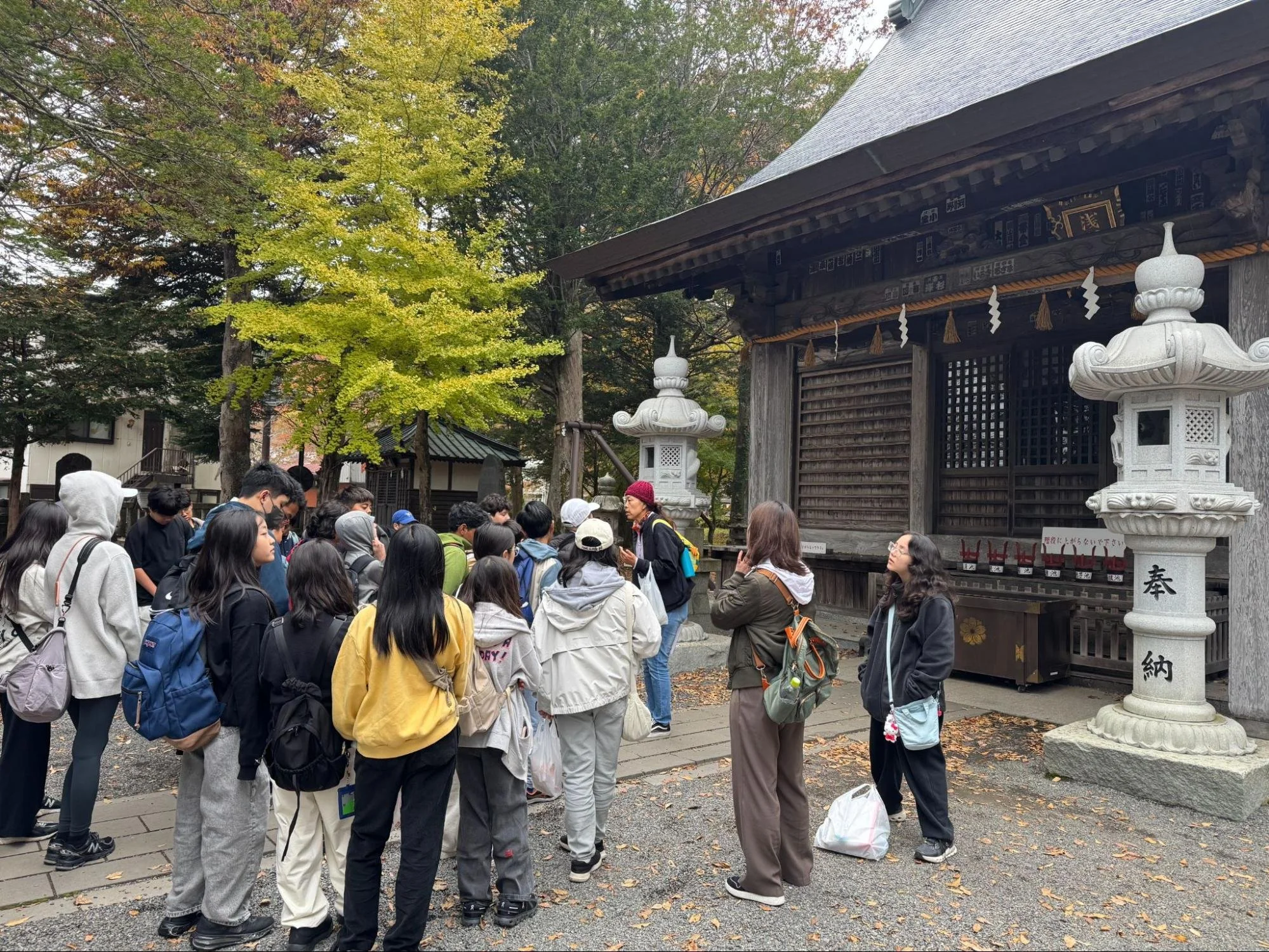
Exploring regional Japan and understanding life beyond major cities.
A practical way to approach this is to design the program around a comparative question. For example, how does population density influence daily life, economic activity, or access to services? Students can then observe and analyse differences across locations rather than experiencing them as isolated stops.
It is also worth planning transitions carefully. Moving from a high-density city to a rural area is not just a logistical shift. It is a cognitive shift for students. Building in time to reflect on these differences, even through a short guided discussion, helps consolidate learning.
How Geography Shapes Japan’s Economy
Japan’s economic patterns are closely tied to its geography. For school trip design, this is not just background context. It directly influences where meaningful site visits can take place and what students are able to observe in real terms.
Japan is a mountainous country with limited flat land. This has led to dense urban development along coastal plains, particularly around Tokyo, Osaka, and Nagoya. It has also shaped how industries are distributed, how infrastructure is built, and how communities adapt to space constraints.
For program planning, it helps to think in terms of economic clusters rather than broad national themes. Each region offers a distinct lens into how geography influences economic activity.
In urban coastal areas, students can explore:
Advanced manufacturing and global supply chains
Financial and business districts concentrated in limited space
Transport systems designed to move large populations efficiently
A visit to a logistics hub or a discussion with a local business can bring these systems to life. Students can see how proximity to ports and infrastructure supports international trade, and how space limitations drive innovation in design and operations.
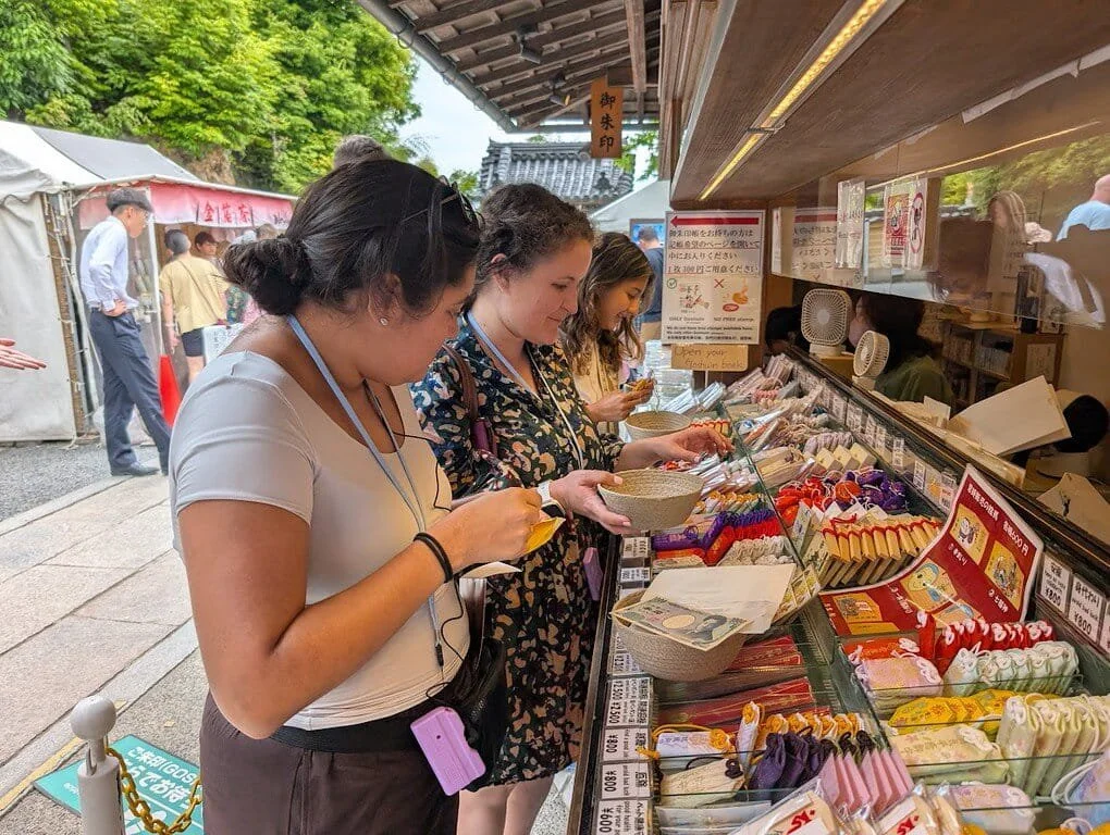
Students engaging with a real-world setting outside a classroom.
In more rural or mountainous regions, the economic story shifts. Here, geography creates constraints that require different responses:
Agriculture adapted to limited arable land, including terraced farming
Local industries built around regional resources or heritage crafts
Economic challenges linked to population decline and workforce shortages
These environments allow students to examine trade-offs. They can compare efficiency and scale in urban centres with resilience and adaptation in regional areas.
When designing programs, a useful approach is to anchor visits around a central economic question. For example, how does geography influence what industries can thrive in a particular region? Students can then gather observations across different locations and build a comparative understanding.

Guided reflection helping students connect experience to learning.
Timing and sequencing also play a role. We find that placing a rural visit after time spent in a major city often sharpens student awareness. They begin to notice differences in infrastructure, employment patterns, and daily life more clearly because they have a reference point.
From a practical standpoint, geography also affects access. Some of the most interesting learning environments are not the easiest to reach. This requires balancing ambition with feasibility. Longer travel times can be justified when the learning outcome is clear and distinct from what students would experience in a city.
What Students Can Learn From Exploring Japan
When geography, population, and regional differences are built into the design of a program, Japan shines. It becomes a framework for understanding how environments shape systems, decisions, and daily life. This is where educational travel moves from observation to analysis.
For school leaders and trip organisers, the opportunity lies in making these connections explicit. A visit to Tokyo can be positioned as a case study in density, infrastructure, and economic concentration. Time spent in a regional town is not simply cultural exposure. It becomes a lens for examining demographic change, local economies, and sustainability challenges.

Travelling across regions to compare different environments and perspectives.
To make this work in practice, it helps to design around a few clear learning questions and return to them throughout the trip. For example, how does geography influence opportunity, or how do different regions respond to shared national challenges? These questions give structure to site visits, discussions, and reflection activities.
We also recommend building in deliberate comparison points. Moving between regions should feel like a shift in perspective that students are guided to unpack, rather than just a change in scenery. Short debrief sessions, targeted prompts, or even simple discussion checkpoints can help consolidate these insights while they are still fresh.
Practical Planning Japan Insights to Take Forward
Focus on depth over coverage when selecting regions to visit
Use geography and population as core themes, not background context
Design programs around clear comparative questions across locations
Build in structured reflection moments during transitions between regions
Align site visits with specific learning outcomes rather than general exposure
Planning a Japan Program With Clear Learning Outcomes
If you are looking to design a Japan program that goes beyond surface-level exposure and delivers clear academic value, our team at Beyond Classrooms can support you in building an itinerary that aligns geography, logistics, and learning outcomes from the start.